
Next Generation Mapping
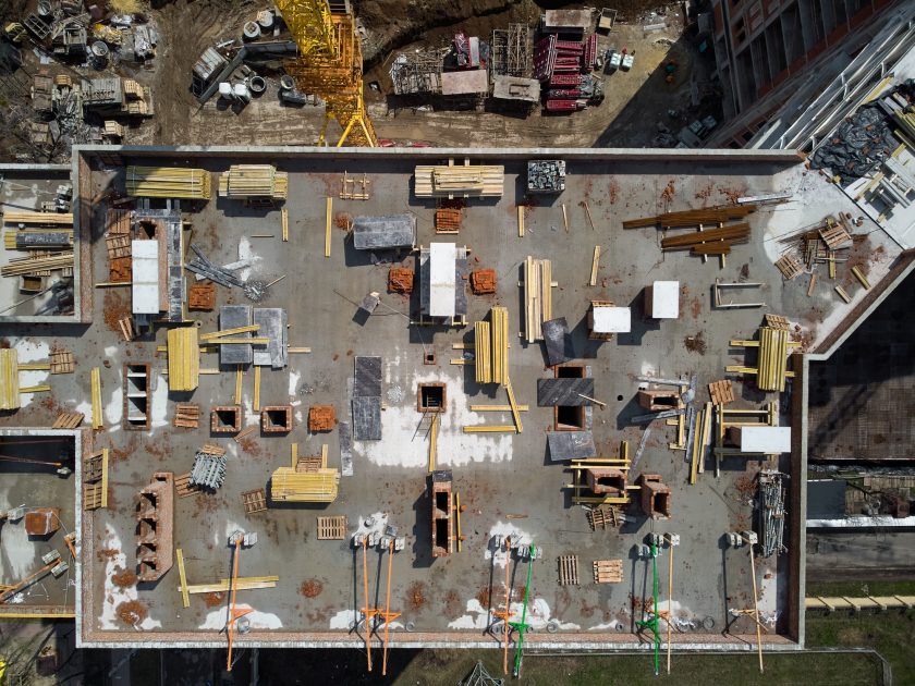
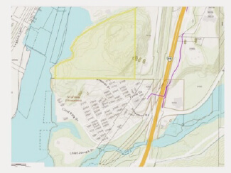
Use the power of flight and freedom to capture your land areas.
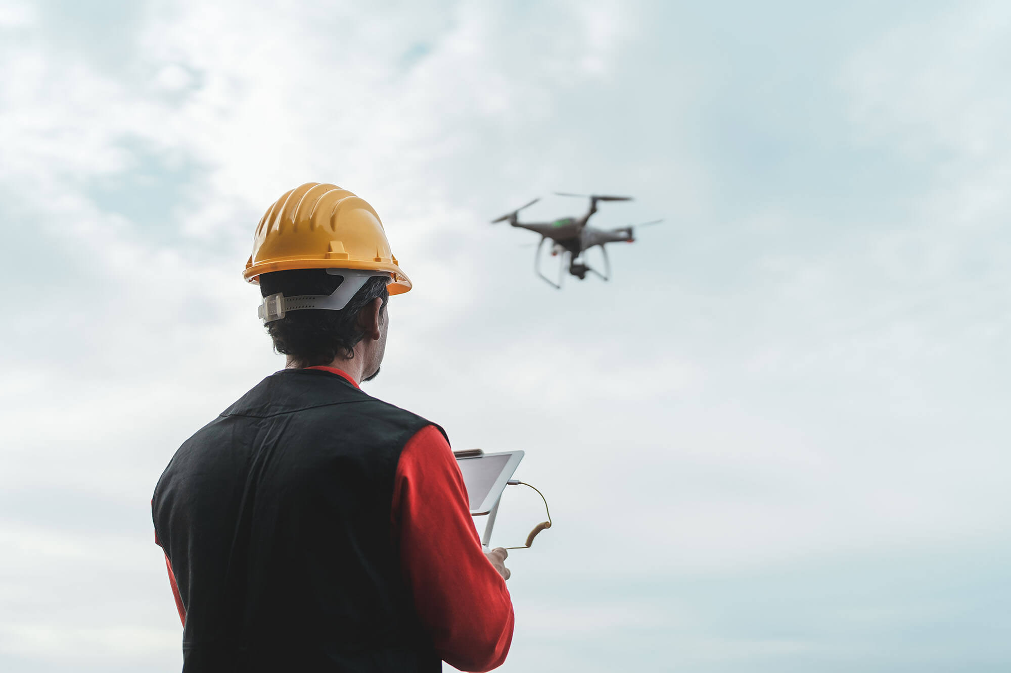
Drones in construction industry
Increase efficiency, progression monitoring, aerial inspections, and more.

High RTK Technology
OUR SERVICES
The Tatanka Drones provides businesses of all sizes with turnkey aerial data solutions at an affordable cost.
For
Mapping
Lorem ipsum dolor sit amet, consectetur adipiscing elit. Ut elit tellus, luctus nec ullamcorper mattis, pulvinar dapibus leo.
For Construction
Lorem ipsum dolor sit amet, consectetur adipiscing elit. Ut elit tellus, luctus nec ullamcorper mattis, pulvinar dapibus leo.
Aerial Photography
Lorem ipsum dolor sit amet, consectetur adipiscing elit. Ut elit tellus, luctus nec ullamcorper mattis, pulvinar dapibus leo.
Utilities
Lorem ipsum dolor sit amet, consectetur adipiscing elit. Ut elit tellus, luctus nec ullamcorper mattis, pulvinar dapibus leo.
Oil & Gas
Lorem ipsum dolor sit amet, consectetur adipiscing elit. Ut elit tellus, luctus nec ullamcorper mattis, pulvinar dapibus leo.
Renewables
Lorem ipsum dolor sit amet, consectetur adipiscing elit. Ut elit tellus, luctus nec ullamcorper mattis, pulvinar dapibus leo.
Environmental
Lorem ipsum dolor sit amet, consectetur adipiscing elit. Ut elit tellus, luctus nec ullamcorper mattis, pulvinar dapibus leo.
Infrastructure
Lorem ipsum dolor sit amet, consectetur adipiscing elit. Ut elit tellus, luctus nec ullamcorper mattis, pulvinar dapibus leo.
The Flight plan
Working with us is easy!
Communicate your project.
Receive a free same day quote.
We'll flight the mission.
Enjoy the aerial views!
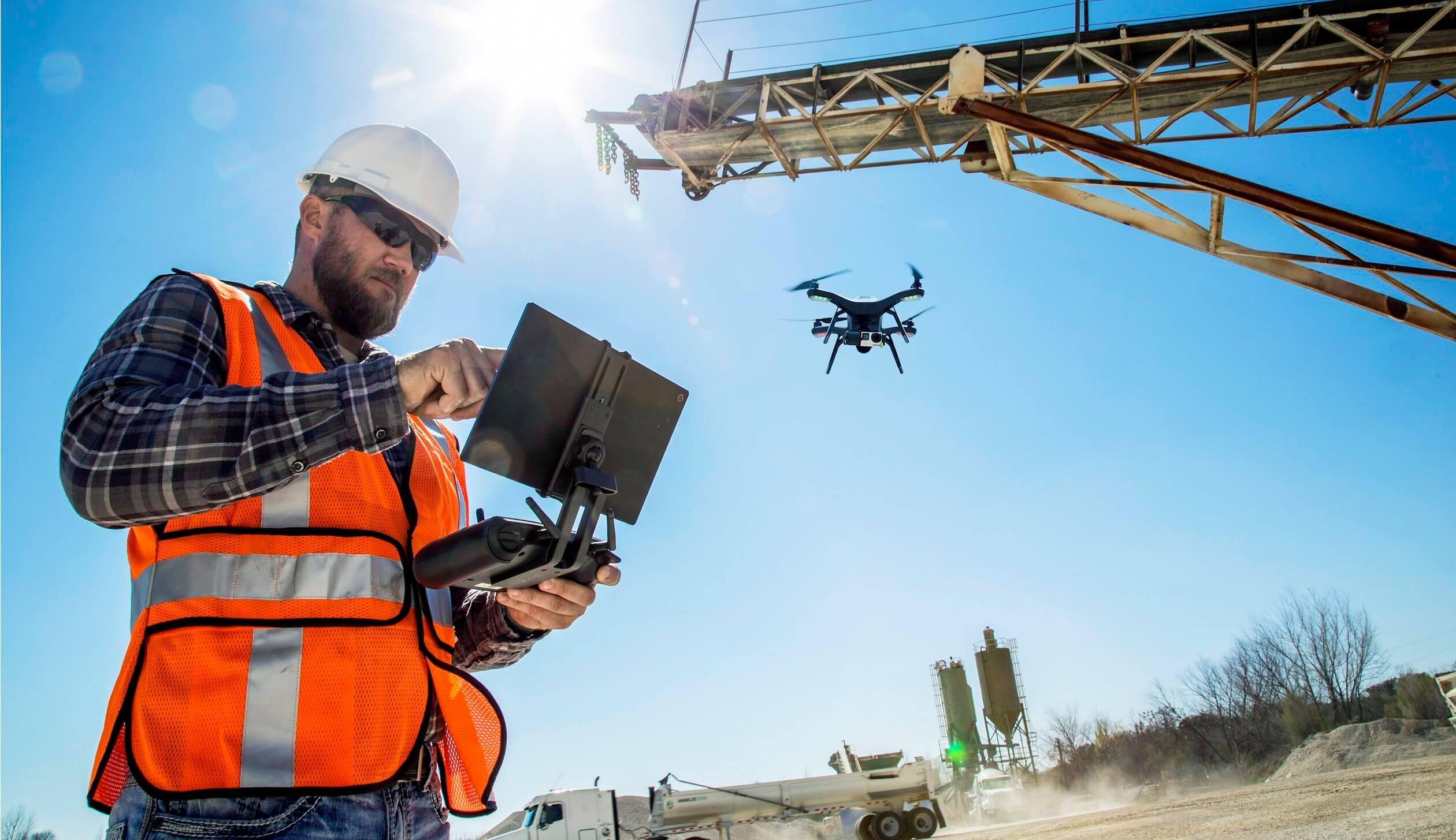
Our value
What you can expect from us.
Fully Transparent Pricing
We structure our costs in a simple and straightforward format. No surprises and no confusion.
Friendly & Trustworthy Service
Our team is made up of honorable individuals who really want to advance your cause and are easy to get ahold of anytime.
Professionally Edited Photos & Videos
Not tech savvy? Don’t worry! We can post process the entire project for you.
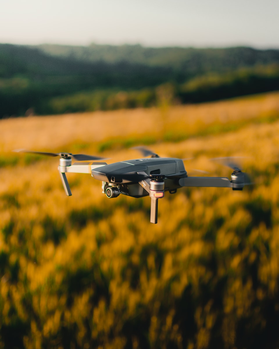
Featured Drone
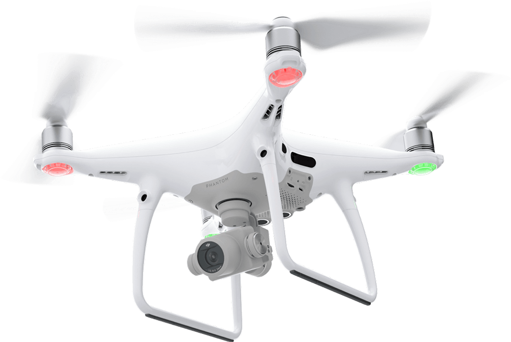
Phanton 4 RTK

20MP
Precise Imaging System - 1-inch, 20-megapixel CMOS sensor.
f/2.8-f/11
The Phantom 4 RTK can achieve a ground sample distance (GSD) of 2.74 cm at 100 meters flight altitude.
12.8 Stops
Dynamic Range
24mm
Equivalent Focal Length - every single camera lens goes through a rigorous calibration process.
Addons
Tool Support for Drone
Professional Controller
Precise Imaging System
Accessories & Equipment
Testimonial
What they say about us


